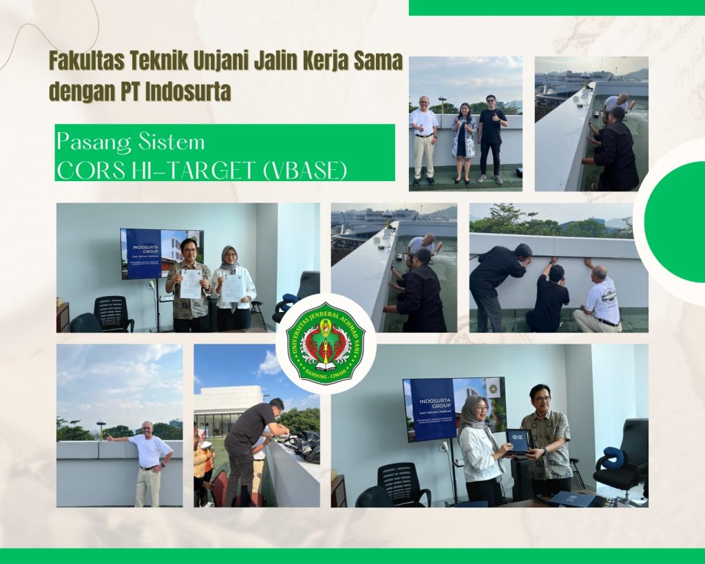
The Faculty of Engineering at Jenderal Achmad Yani University (Unjani) officially entered into a Cooperation Agreement (PKS) with PT Indosurta. The signing took place on Friday, September 12, 2025, at the Unjani Faculty of Engineering Dean’s Office Building in Cimahi. The agreement was signed by the Dean of the Faculty of Engineering, Dr. Een Taryana, ST., MT., and the Director of PT Indosurta, Yanyan Sugiharyana.
This important event was also attended by several parties, including the Vice Dean III of the Faculty of Engineering, the Head of the Geomatics Engineering Study Program, Colonel (Ret.) Dr. Ir. Sukanto Hadi, MT., the Geomatics Study Program Secretary, staff, and representatives from PT Indosurta.
Following the signing of the PKS, the event continued with the installation of CORS Hi-Target (VBASE). This system is a GNSS (Global Navigation Satellite System)-based measurement device designed to improve the accuracy of mapping data acquisition, processing, distribution, and management. CORS Hi-Target (VBASE) is equipped with various advanced components, such as a Vnet reference receiver, a 3D choke ring antenna, and data distribution software.
In his remarks, Col. (Ret.) Dr. Ir. Sukanto Hadi, MT., Head of the Geomatics Engineering Study Program, expressed his gratitude for the support from PT Indosurta. He hoped, “This collaboration will enhance our students’ enthusiasm for learning and strengthen their competencies in the field of surveying and mapping.”
CORS Hi-Target (VBASE) is highly flexible and can be used for a variety of applications, from precision agriculture and civil engineering surveys to integration with various base station brands. Another advantage of this system is its TotalStar technology, which supports longer baselines with millimeter-level precision, as well as data security features through encrypted communications.
With the installation of CORS Hi-Target (VBASE), the Faculty of Engineering at Unjani is optimistic that it can contribute significantly to research and education, while also producing competent geomatics experts ready to meet future industry needs.